Northampton - Saint Crispins
Introduction
The photograph on this page of Northampton - Saint Crispins by Ian Rob as part of the Geograph project.
The Geograph project started in 2005 with the aim of publishing, organising and preserving representative images for every square kilometre of Great Britain, Ireland and the Isle of Man.

There are currently over 7.5m images from over 14,400 individuals and you can help contribute to the project by visiting https://www.geograph.org.uk
Northampton - Saint Crispins
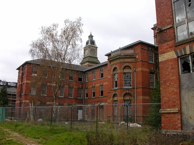
Image: © Ian Rob Taken: 31 Oct 2006
The derelict buildings of the former Asylum. The clock tower can be seen for miles. Much of the original site is being developed for housing.
Images are licensed for reuse under creativecommons.org/licenses/by-sa/2.0
Image Location
Latitude
52.24259
Longitude
-0.958653