Churchyard and Mausoleum, Gunnista
Introduction
The photograph on this page of Churchyard and Mausoleum, Gunnista by Rob Farrow as part of the Geograph project.
The Geograph project started in 2005 with the aim of publishing, organising and preserving representative images for every square kilometre of Great Britain, Ireland and the Isle of Man.

There are currently over 7.5m images from over 14,400 individuals and you can help contribute to the project by visiting https://www.geograph.org.uk
Churchyard and Mausoleum, Gunnista
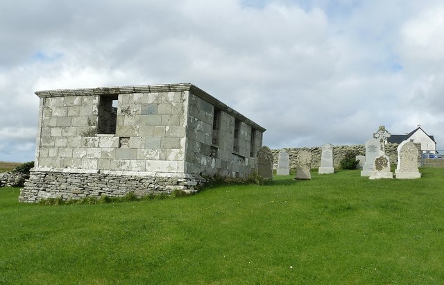
Image: © Rob Farrow Taken: 31 Aug 2011
The churchyard of the vanished St Ola's church, once the parish church for the island of Bressay contains the Henderson Mausoleum and a number of more recent headstones. Information about the Hendersons of Gardie here http://shetlopedia.com/Henderson_of_Gardie_-_Grant%27s_County_Families
Images are licensed for reuse under creativecommons.org/licenses/by-sa/2.0
Image Location
Latitude
60.174574
Longitude
-1.098304