Drakies House, Culcabock Avenue
Introduction
The photograph on this page of Drakies House, Culcabock Avenue by Richard Dorrell as part of the Geograph project.
The Geograph project started in 2005 with the aim of publishing, organising and preserving representative images for every square kilometre of Great Britain, Ireland and the Isle of Man.

There are currently over 7.5m images from over 14,400 individuals and you can help contribute to the project by visiting https://www.geograph.org.uk
Drakies House, Culcabock Avenue
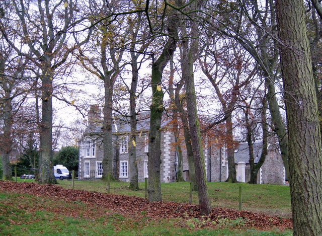
Image: © Richard Dorrell Taken: 23 Nov 2011
A large private house dated 1820. The house is Category B listed, and the trees in the grounds are all subject to preservation orders.
Images are licensed for reuse under creativecommons.org/licenses/by-sa/2.0
Image Location
Latitude
57.47109
Longitude
-4.199779