2011 : Chandlers Lane and Bishops Cannings
Introduction
The photograph on this page of 2011 : Chandlers Lane and Bishops Cannings by Maurice Pullin as part of the Geograph project.
The Geograph project started in 2005 with the aim of publishing, organising and preserving representative images for every square kilometre of Great Britain, Ireland and the Isle of Man.

There are currently over 7.5m images from over 14,400 individuals and you can help contribute to the project by visiting https://www.geograph.org.uk
2011 : Chandlers Lane and Bishops Cannings
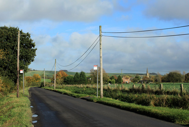
Image: © Maurice Pullin Taken: 2 Nov 2011
With bus stops. Looking north from Horton Road. Bishops Cannings parish church is upstanding, its bells are sometimes heard by boaters on the nearby Kennet and Avon Canal. A touch of autumn appears.
Images are licensed for reuse under creativecommons.org/licenses/by-sa/2.0
Image Location
Latitude
51.369019
Longitude
-1.94838