Addington Square
Introduction
The photograph on this page of Addington Square by Marathon as part of the Geograph project.
The Geograph project started in 2005 with the aim of publishing, organising and preserving representative images for every square kilometre of Great Britain, Ireland and the Isle of Man.

There are currently over 7.5m images from over 14,400 individuals and you can help contribute to the project by visiting https://www.geograph.org.uk
Addington Square
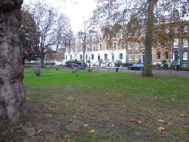
Image: © Marathon Taken: 23 Nov 2011
At one stage it was proposed to demolish the early 19th century Addington Square and incorporate it into Burgess Park, Fortunately that did not happen and the finest square in the area survives.
Images are licensed for reuse under creativecommons.org/licenses/by-sa/2.0
Image Location
Latitude
51.481101
Longitude
-0.091846