The cwm that runs parallel to Llanfair Road
Introduction
The photograph on this page of The cwm that runs parallel to Llanfair Road by Penny Mayes as part of the Geograph project.
The Geograph project started in 2005 with the aim of publishing, organising and preserving representative images for every square kilometre of Great Britain, Ireland and the Isle of Man.

There are currently over 7.5m images from over 14,400 individuals and you can help contribute to the project by visiting https://www.geograph.org.uk
The cwm that runs parallel to Llanfair Road
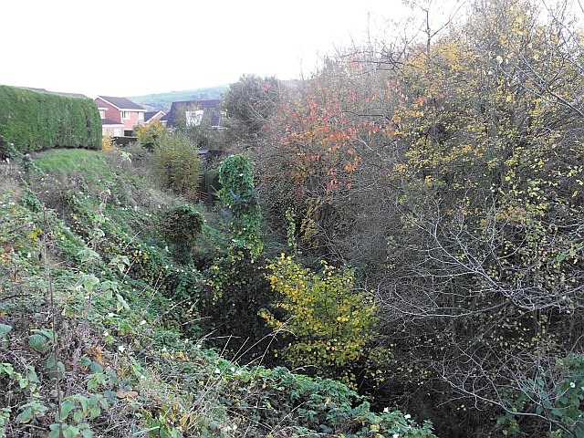
Image: © Penny Mayes Taken: 3 Nov 2011
After passing under Llanfair Road http://www.geograph.org.uk/photo/2707293 the brook turns south and runs down towards the Severn in a deep cwm or dingle.
Images are licensed for reuse under creativecommons.org/licenses/by-sa/2.0
Image Location
Latitude
52.521465
Longitude
-3.312991