Bryn Lane
Introduction
The photograph on this page of Bryn Lane by Penny Mayes as part of the Geograph project.
The Geograph project started in 2005 with the aim of publishing, organising and preserving representative images for every square kilometre of Great Britain, Ireland and the Isle of Man.

There are currently over 7.5m images from over 14,400 individuals and you can help contribute to the project by visiting https://www.geograph.org.uk
Bryn Lane
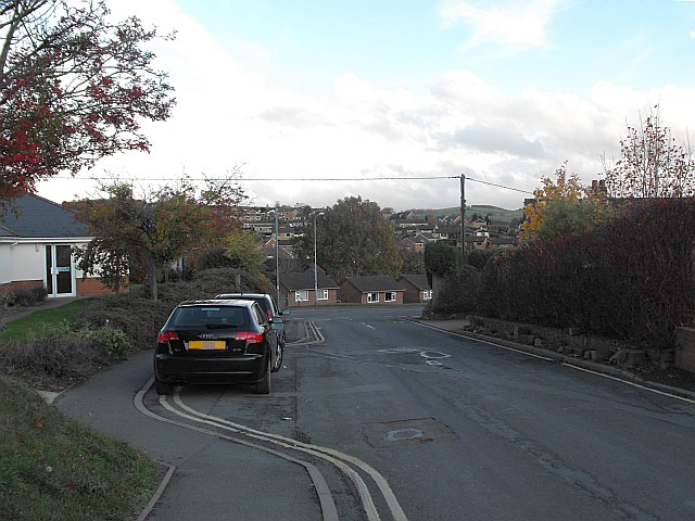
Image: © Penny Mayes Taken: 3 Nov 2011
Bryn Lane approaching the junction with Llanfair Road. The houses across the road are in Cwm Llanfair http://www.geograph.org.uk/photo/2706895. The building on the left is part of the Montgomery County Infirmary.
Images are licensed for reuse under creativecommons.org/licenses/by-sa/2.0
Image Location
Latitude
52.520466
Longitude
-3.313845