Looking down the lane
Introduction
The photograph on this page of Looking down the lane by Peter Turner as part of the Geograph project.
The Geograph project started in 2005 with the aim of publishing, organising and preserving representative images for every square kilometre of Great Britain, Ireland and the Isle of Man.

There are currently over 7.5m images from over 14,400 individuals and you can help contribute to the project by visiting https://www.geograph.org.uk
Looking down the lane
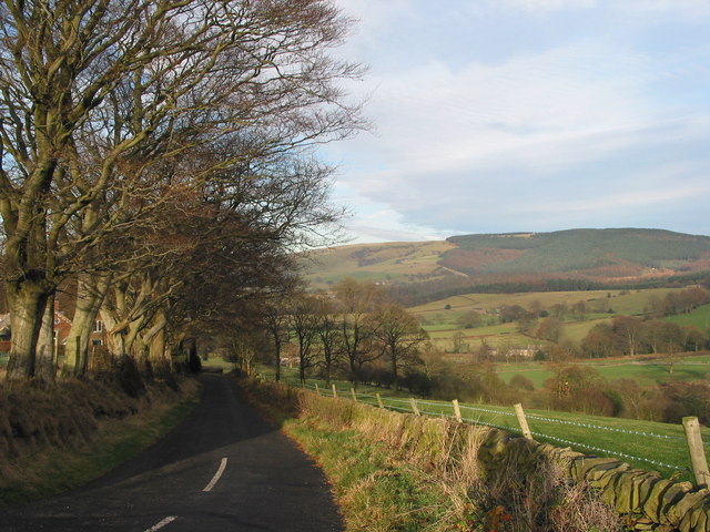
Image: © Peter Turner Taken: 23 Nov 2003
Leading back to Langley village via Cock Hall Lane. The dark smear of Macclesfield Forest runs up the far hillside to the skyline.
Images are licensed for reuse under creativecommons.org/licenses/by-sa/2.0
Image Location
Latitude
53.229354
Longitude
-2.078604