Corn Fields, Pease Pottage
Introduction
The photograph on this page of Corn Fields, Pease Pottage by Pete Chapman as part of the Geograph project.
The Geograph project started in 2005 with the aim of publishing, organising and preserving representative images for every square kilometre of Great Britain, Ireland and the Isle of Man.

There are currently over 7.5m images from over 14,400 individuals and you can help contribute to the project by visiting https://www.geograph.org.uk
Corn Fields, Pease Pottage
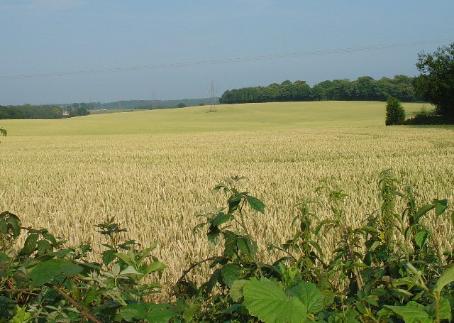
Image: © Pete Chapman Taken: 13 Jul 2005
A very summery rural site. Ripening corn in this large field, which covers the N side of this grid square. Much of the rural sussex terrain is patches of trees interspersed by fields of various crops. Tilgate Forest can be seen in the far distance and Bensonshill Wood is on the right. High voltage electricity transmission cross the field (the pylons are just visible). View taken from the old A23 road between Pease Pottage and Handcross, looking E.
Images are licensed for reuse under creativecommons.org/licenses/by-sa/2.0
Image Location
Latitude
51.080651
Longitude
-0.199743