Straits Brasserie
Introduction
The photograph on this page of Straits Brasserie by Richard Croft as part of the Geograph project.
The Geograph project started in 2005 with the aim of publishing, organising and preserving representative images for every square kilometre of Great Britain, Ireland and the Isle of Man.

There are currently over 7.5m images from over 14,400 individuals and you can help contribute to the project by visiting https://www.geograph.org.uk
Straits Brasserie
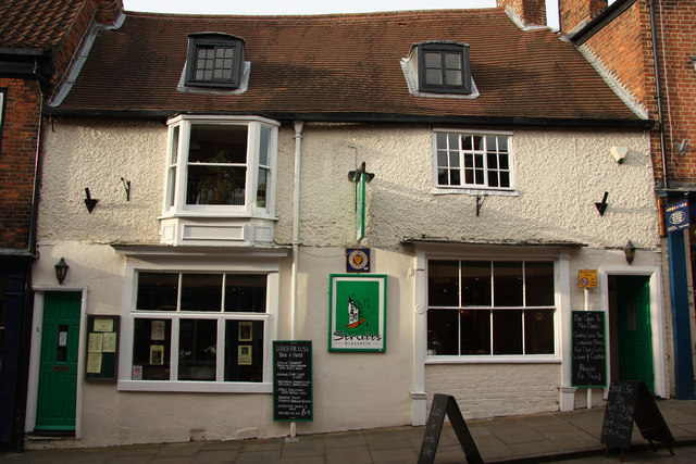
Image: © Richard Croft Taken: 23 Nov 2011
Much-acclaimed and popular Brazilian restaurant http://www.straitsbrasserie.co.uk/ in a grade II listed, 17th century building on The Strait
Images are licensed for reuse under creativecommons.org/licenses/by-sa/2.0
Image Location
Latitude
53.231935
Longitude
-0.538989