Walking the Nidderdale Way
Introduction
The photograph on this page of Walking the Nidderdale Way by Gordon Hatton as part of the Geograph project.
The Geograph project started in 2005 with the aim of publishing, organising and preserving representative images for every square kilometre of Great Britain, Ireland and the Isle of Man.

There are currently over 7.5m images from over 14,400 individuals and you can help contribute to the project by visiting https://www.geograph.org.uk
Walking the Nidderdale Way
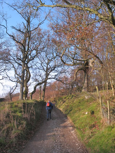
Image: © Gordon Hatton Taken: 19 Nov 2011
A section of the Nidderdale Way at Sun Side above Bewerley.
Images are licensed for reuse under creativecommons.org/licenses/by-sa/2.0
Image Location
Latitude
54.085717
Longitude
-1.812092