Kimpton Road
Introduction
The photograph on this page of Kimpton Road by Thomas Nugent as part of the Geograph project.
The Geograph project started in 2005 with the aim of publishing, organising and preserving representative images for every square kilometre of Great Britain, Ireland and the Isle of Man.

There are currently over 7.5m images from over 14,400 individuals and you can help contribute to the project by visiting https://www.geograph.org.uk
Kimpton Road
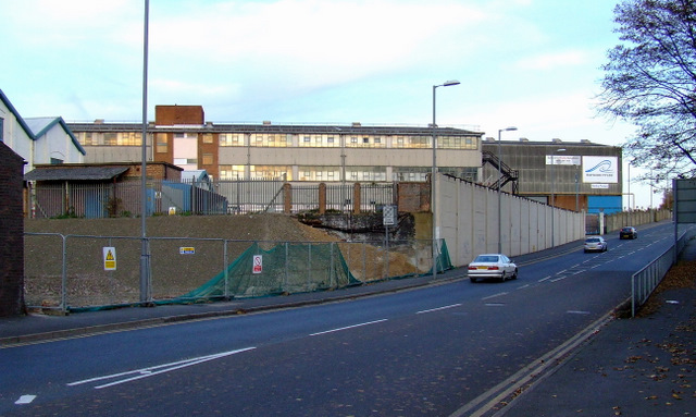
Image: © Thomas Nugent Taken: 18 Nov 2011
Looking up the hill from the Windmill public house. A railway bridge once crossed the road here. The line has been recently excavated in preparation for the creation of a guided busway.
Images are licensed for reuse under creativecommons.org/licenses/by-sa/2.0
Image Location
Latitude
51.875365
Longitude
-0.402358