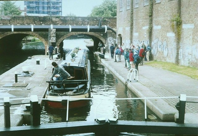
Regent's Canal, Stepney in 2003
Introduction
The photograph on this page of Regent's Canal, Stepney in 2003 by John Baker as part of the Geograph project.
The Geograph project started in 2005 with the aim of publishing, organising and preserving representative images for every square kilometre of Great Britain, Ireland and the Isle of Man.
There are currently over 7.5m images from over 14,400 individuals and you can help contribute to the project by visiting https://www.geograph.org.uk

Image: © John Baker Taken: 18 May 2003
The group of people are members of Ashford (Kent) Ramblers who had travelled by minibus to Limehouse Basin for a 7-mile circular walk along canal towpaths (Limehouse Cut, Lee Navigation, Hertford Union Canal and Regent’s Canal). Here the group is watching a narrowboat leaving the lock. It is interesting to compare this view with that of Image which shows a new building is being erected to replace the one that can be seen behind the group. Also, beyond the bridge, the tower block was in the process of being erected when I took my picture.

