St James's Church, Muswell Hill Road N10
Introduction
The photograph on this page of St James's Church, Muswell Hill Road N10 by Robin Sones as part of the Geograph project.
The Geograph project started in 2005 with the aim of publishing, organising and preserving representative images for every square kilometre of Great Britain, Ireland and the Isle of Man.

There are currently over 7.5m images from over 14,400 individuals and you can help contribute to the project by visiting https://www.geograph.org.uk
St James's Church, Muswell Hill Road N10
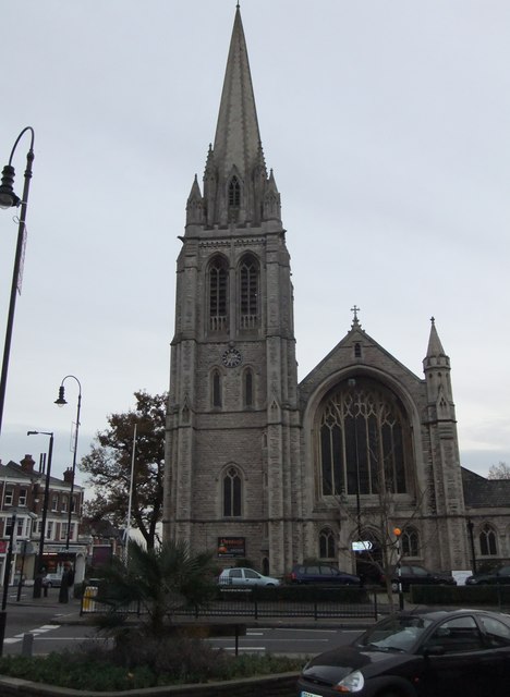
Image: © Robin Sones Taken: 23 Nov 2011
At the junction with St James's Lane. Taken from the junction with Fortis Green Road.
Images are licensed for reuse under creativecommons.org/licenses/by-sa/2.0
Image Location


Leaflet Map data © OpenStreetMap
Latitude
51.58924
Longitude
-0.145352