Track to High Moor of Killiemore
Introduction
The photograph on this page of Track to High Moor of Killiemore by Andy Farrington as part of the Geograph project.
The Geograph project started in 2005 with the aim of publishing, organising and preserving representative images for every square kilometre of Great Britain, Ireland and the Isle of Man.

There are currently over 7.5m images from over 14,400 individuals and you can help contribute to the project by visiting https://www.geograph.org.uk
Track to High Moor of Killiemore
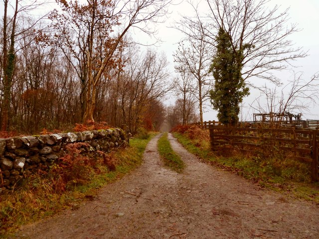
Image: © Andy Farrington Taken: 21 Nov 2011
This track leads onto the moor through several gates and managed fencing.
Images are licensed for reuse under creativecommons.org/licenses/by-sa/2.0
Image Location


Leaflet Map data © OpenStreetMap
Latitude
54.907195
Longitude
-4.562722