Killiemore House
Introduction
The photograph on this page of Killiemore House by Andy Farrington as part of the Geograph project.
The Geograph project started in 2005 with the aim of publishing, organising and preserving representative images for every square kilometre of Great Britain, Ireland and the Isle of Man.

There are currently over 7.5m images from over 14,400 individuals and you can help contribute to the project by visiting https://www.geograph.org.uk
Killiemore House
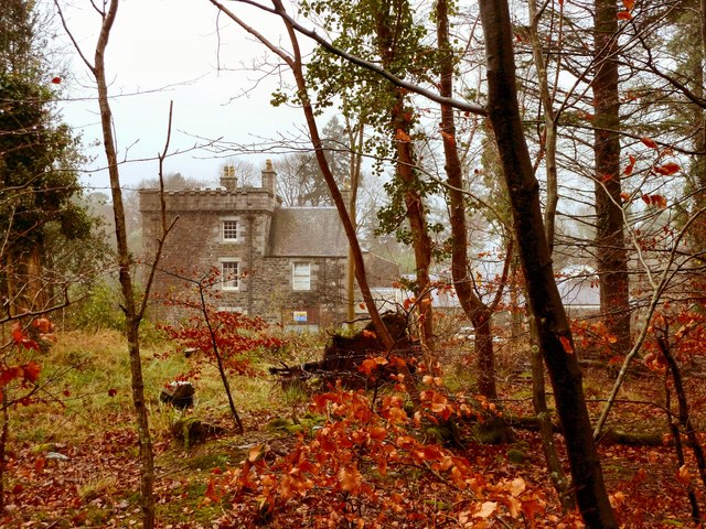
Image: © Andy Farrington Taken: 21 Nov 2011
View through the trees to the house which has been isolated from the rest of Killiemore Farm with a large metal gate at the back by the stables which prevents through traffic.
Images are licensed for reuse under creativecommons.org/licenses/by-sa/2.0
Image Location


Leaflet Map data © OpenStreetMap
Latitude
54.906886
Longitude
-4.564574