Killiemore Farm
Introduction
The photograph on this page of Killiemore Farm by Andy Farrington as part of the Geograph project.
The Geograph project started in 2005 with the aim of publishing, organising and preserving representative images for every square kilometre of Great Britain, Ireland and the Isle of Man.

There are currently over 7.5m images from over 14,400 individuals and you can help contribute to the project by visiting https://www.geograph.org.uk
Killiemore Farm
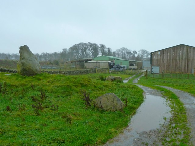
Image: © Andy Farrington Taken: 21 Nov 2011
View of the back of the farm which is about 2km from the Spittal to Baltersan Cross road as the crow flies.
Images are licensed for reuse under creativecommons.org/licenses/by-sa/2.0
Image Location


Leaflet Map data © OpenStreetMap
Latitude
54.907834
Longitude
-4.566507