Field and Gibbet Hills from Douglas Lane
Introduction
The photograph on this page of Field and Gibbet Hills from Douglas Lane by Trevor Littlewood as part of the Geograph project.
The Geograph project started in 2005 with the aim of publishing, organising and preserving representative images for every square kilometre of Great Britain, Ireland and the Isle of Man.

There are currently over 7.5m images from over 14,400 individuals and you can help contribute to the project by visiting https://www.geograph.org.uk
Field and Gibbet Hills from Douglas Lane
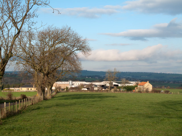
Image: © Trevor Littlewood Taken: 22 Nov 2011
The farm at Gibbet Hills lies south-west of the small County Durham Town of Crook. The view is northwards from a minor road known as Douglas Lane and very close to the position of a now lost trig point known to the OS as 'Diggins'; it had flush bracket number S4212.
Images are licensed for reuse under creativecommons.org/licenses/by-sa/2.0
Image Location
Latitude
54.691202
Longitude
-1.774559