The Dundry Inn
Introduction
The photograph on this page of The Dundry Inn by Neil Owen as part of the Geograph project.
The Geograph project started in 2005 with the aim of publishing, organising and preserving representative images for every square kilometre of Great Britain, Ireland and the Isle of Man.

There are currently over 7.5m images from over 14,400 individuals and you can help contribute to the project by visiting https://www.geograph.org.uk
The Dundry Inn
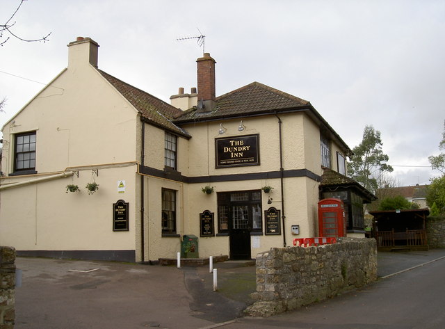
Image: © Neil Owen Taken: 18 Nov 2011
Recently under new management since early 2011, the pub features that most modern of facilities - the smokers' hut (right of shot).
Images are licensed for reuse under creativecommons.org/licenses/by-sa/2.0
Image Location
Latitude
51.398766
Longitude
-2.637599