Kings Arms Lane
Introduction
The photograph on this page of Kings Arms Lane by Jonathan Kington as part of the Geograph project.
The Geograph project started in 2005 with the aim of publishing, organising and preserving representative images for every square kilometre of Great Britain, Ireland and the Isle of Man.

There are currently over 7.5m images from over 14,400 individuals and you can help contribute to the project by visiting https://www.geograph.org.uk
Kings Arms Lane
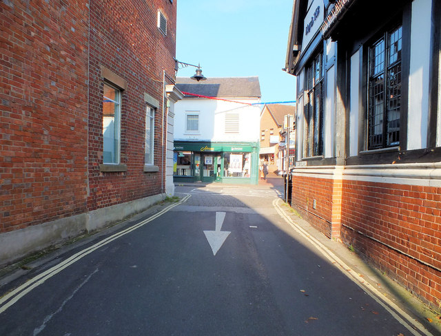
Image: © Jonathan Kington Taken: 19 Nov 2011
Looking to the junction of Kings Arms Lane with the High Street, on the left is the Image with a bench mark on the wall (Image). Note: There is no apostrophe 's' in Kings, see Image
Images are licensed for reuse under creativecommons.org/licenses/by-sa/2.0
Image Location
Latitude
50.846048
Longitude
-1.792431