Wildown Rd
Introduction
The photograph on this page of Wildown Rd by Nigel Mykura as part of the Geograph project.
The Geograph project started in 2005 with the aim of publishing, organising and preserving representative images for every square kilometre of Great Britain, Ireland and the Isle of Man.

There are currently over 7.5m images from over 14,400 individuals and you can help contribute to the project by visiting https://www.geograph.org.uk
Wildown Rd
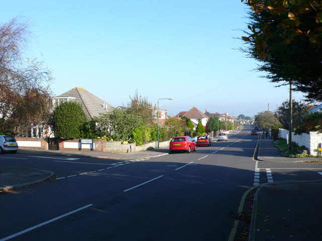
Image: © Nigel Mykura Taken: 15 Nov 2011
This long residential road with many bungalows and detached houses runs from Church Rd north across Southbourne to Broadway.
Images are licensed for reuse under creativecommons.org/licenses/by-sa/2.0
Image Location
Latitude
50.72221
Longitude
-1.786744