Duchess Wood
Introduction
The photograph on this page of Duchess Wood by Lairich Rig as part of the Geograph project.
The Geograph project started in 2005 with the aim of publishing, organising and preserving representative images for every square kilometre of Great Britain, Ireland and the Isle of Man.

There are currently over 7.5m images from over 14,400 individuals and you can help contribute to the project by visiting https://www.geograph.org.uk
Duchess Wood
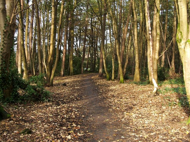
Image: © Lairich Rig Taken: 26 Oct 2011
This is the southern part of the wood. The photograph was taken from a point just inside the woods, near the start of the path; the path begins at the sign that is shown in Image For other views, click on the end-note title. See also William Craig's earlier view, Image, taken in roughly the same area as the present photograph.
Images are licensed for reuse under creativecommons.org/licenses/by-sa/2.0
Image Location
Latitude
56.010491
Longitude
-4.749246