The "tuck shop" as it looks now
Introduction
The photograph on this page of The "tuck shop" as it looks now by Mark Inwood as part of the Geograph project.
The Geograph project started in 2005 with the aim of publishing, organising and preserving representative images for every square kilometre of Great Britain, Ireland and the Isle of Man.

There are currently over 7.5m images from over 14,400 individuals and you can help contribute to the project by visiting https://www.geograph.org.uk
The "tuck shop" as it looks now
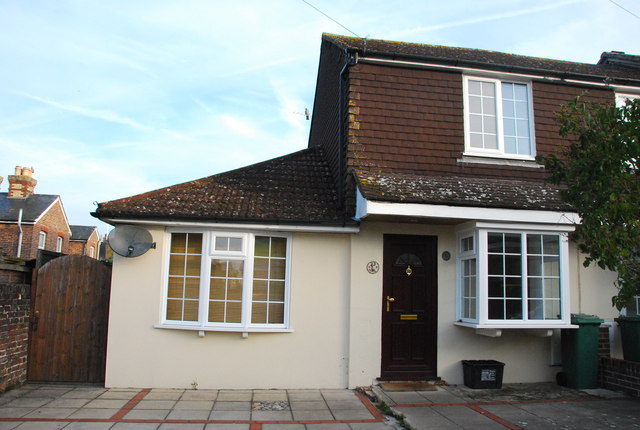
Image: © Mark Inwood Taken: 23 Sep 2011
The tuck shop was added to the adjacent house in a 1980 rebuild and now looks like this (September 2011).
Images are licensed for reuse under creativecommons.org/licenses/by-sa/2.0
Image Location


Leaflet Map data © OpenStreetMap
Latitude
51.224779
Longitude
-0.209592