River Park View
Introduction
The photograph on this page of River Park View by Ian Capper as part of the Geograph project.
The Geograph project started in 2005 with the aim of publishing, organising and preserving representative images for every square kilometre of Great Britain, Ireland and the Isle of Man.

There are currently over 7.5m images from over 14,400 individuals and you can help contribute to the project by visiting https://www.geograph.org.uk
River Park View
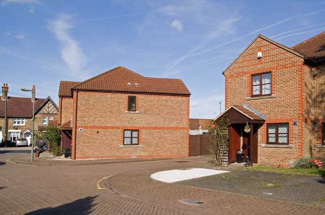
Image: © Ian Capper Taken: 21 Oct 2011
A small development at the northern end of Orpington High Street, backing on to Priory Gardens near the ponds which serve as the source of the River Cray.
Images are licensed for reuse under creativecommons.org/licenses/by-sa/2.0
Image Location
Latitude
51.381397
Longitude
0.105641