Redhall Doocot
Introduction
The photograph on this page of Redhall Doocot by Anne Burgess as part of the Geograph project.
The Geograph project started in 2005 with the aim of publishing, organising and preserving representative images for every square kilometre of Great Britain, Ireland and the Isle of Man.

There are currently over 7.5m images from over 14,400 individuals and you can help contribute to the project by visiting https://www.geograph.org.uk
Redhall Doocot
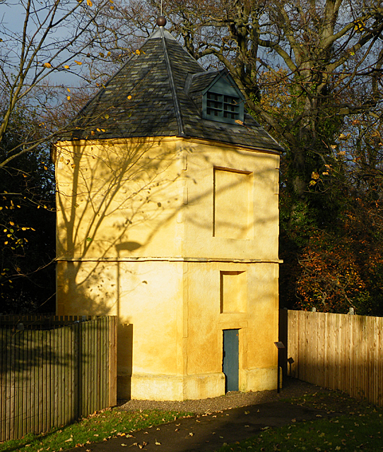
Image: © Anne Burgess Taken: 20 Nov 2011
The doocot is of an unusual hexagonal plan, and contained 757 nestboxes. A small plaque on the post near the door says that it was built in 1756 by John Christy for Inglis of Redhall. On the back is a panel with the arms of Sir Adam Otterburn, who died in 1548.
Images are licensed for reuse under creativecommons.org/licenses/by-sa/2.0
Image Location
Latitude
55.91971
Longitude
-3.249154