East Burra: view down South Voe
Introduction
The photograph on this page of East Burra: view down South Voe by Chris Downer as part of the Geograph project.
The Geograph project started in 2005 with the aim of publishing, organising and preserving representative images for every square kilometre of Great Britain, Ireland and the Isle of Man.

There are currently over 7.5m images from over 14,400 individuals and you can help contribute to the project by visiting https://www.geograph.org.uk
East Burra: view down South Voe
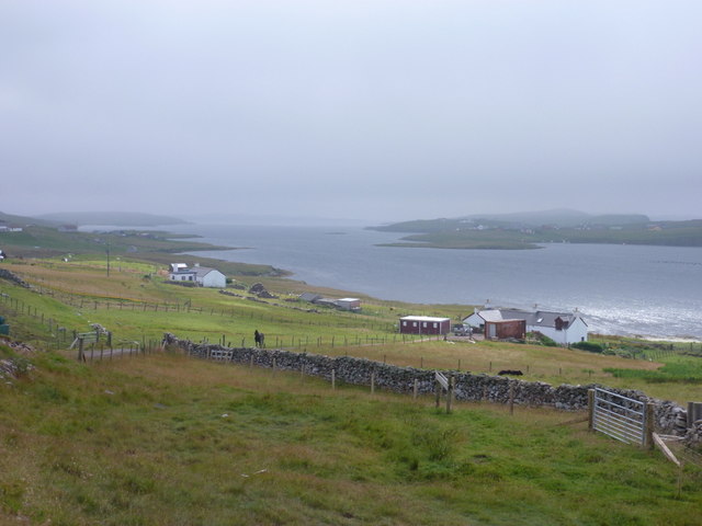
Image: © Chris Downer Taken: 3 Aug 2011
Looking down South Voe, the long inlet separating the islands of East Burra and West Burra.
Images are licensed for reuse under creativecommons.org/licenses/by-sa/2.0
Image Location
Latitude
60.074107
Longitude
-1.326556