King Street Way
Introduction
The photograph on this page of King Street Way by Simon Carey as part of the Geograph project.
The Geograph project started in 2005 with the aim of publishing, organising and preserving representative images for every square kilometre of Great Britain, Ireland and the Isle of Man.

There are currently over 7.5m images from over 14,400 individuals and you can help contribute to the project by visiting https://www.geograph.org.uk
King Street Way
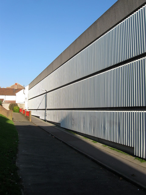
Image: © Simon Carey Taken: 19 Nov 2011
The name given to the footpath that runs alongside a multi-storey car park linking Image to Image the two remaining sections of the original King Street.
Images are licensed for reuse under creativecommons.org/licenses/by-sa/2.0
Image Location
Latitude
50.824422
Longitude
-0.141604