Pateley Bridge - Recreation Ground
Introduction
The photograph on this page of Pateley Bridge - Recreation Ground by BC as part of the Geograph project.
The Geograph project started in 2005 with the aim of publishing, organising and preserving representative images for every square kilometre of Great Britain, Ireland and the Isle of Man.

There are currently over 7.5m images from over 14,400 individuals and you can help contribute to the project by visiting https://www.geograph.org.uk
Pateley Bridge - Recreation Ground
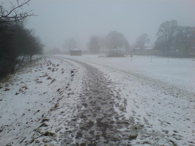
Image: © BC Taken: 24 Feb 2010
The recreation ground alongside the Nidd at Pateley Bridge in February 2010
Images are licensed for reuse under creativecommons.org/licenses/by-sa/2.0
Image Location
Latitude
54.085092
Longitude
-1.763484