Mine Manager's House
Introduction
The photograph on this page of Mine Manager's House by Chris Andrews as part of the Geograph project.
The Geograph project started in 2005 with the aim of publishing, organising and preserving representative images for every square kilometre of Great Britain, Ireland and the Isle of Man.

There are currently over 7.5m images from over 14,400 individuals and you can help contribute to the project by visiting https://www.geograph.org.uk
Mine Manager's House
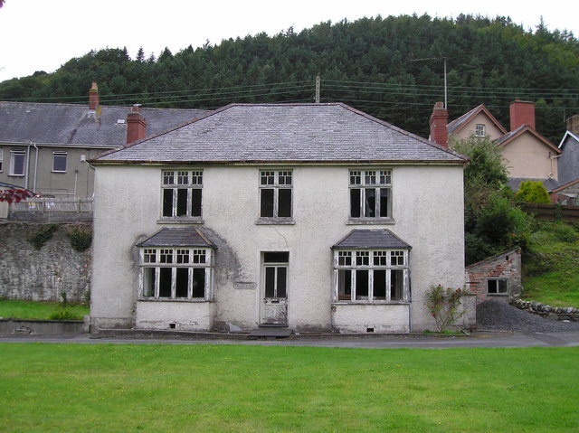
Image: © Chris Andrews Taken: 16 Aug 2009
The main adit of the Tal y Bont Mine originally came out to the right of the building.
Images are licensed for reuse under creativecommons.org/licenses/by-sa/2.0
Image Location
Latitude
52.485536
Longitude
-3.981876