Track to New Downs Farm
Introduction
The photograph on this page of Track to New Downs Farm by Graham Horn as part of the Geograph project.
The Geograph project started in 2005 with the aim of publishing, organising and preserving representative images for every square kilometre of Great Britain, Ireland and the Isle of Man.

There are currently over 7.5m images from over 14,400 individuals and you can help contribute to the project by visiting https://www.geograph.org.uk
Track to New Downs Farm
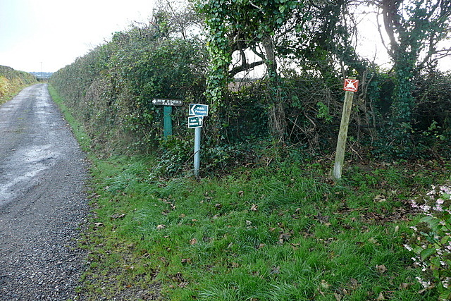
Image: © Graham Horn Taken: 19 Oct 2011
The farm entrance track to the left is a bridleway. So is the one to the right, grass covered, where an additional "no motorcycling" sign has had to be erected.
Images are licensed for reuse under creativecommons.org/licenses/by-sa/2.0
Image Location
Latitude
50.220498
Longitude
-5.324325