Vales Moor, stile
Introduction
The photograph on this page of Vales Moor, stile by Mike Faherty as part of the Geograph project.
The Geograph project started in 2005 with the aim of publishing, organising and preserving representative images for every square kilometre of Great Britain, Ireland and the Isle of Man.

There are currently over 7.5m images from over 14,400 individuals and you can help contribute to the project by visiting https://www.geograph.org.uk
Vales Moor, stile
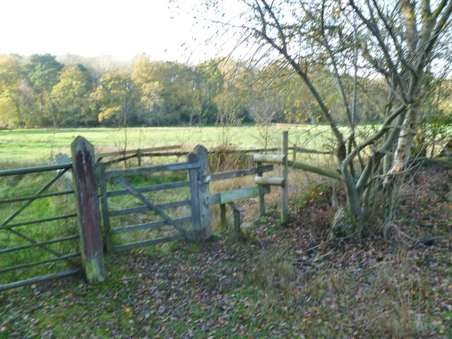
Image: © Mike Faherty Taken: 19 Nov 2011
At the beginning of a permissive footpath from the edge of open heathland, to link with a public right of way to Hurn Farm.
Images are licensed for reuse under creativecommons.org/licenses/by-sa/2.0
Image Location
Latitude
50.836771
Longitude
-1.740496