View towards Pennlands Farm
Introduction
The photograph on this page of View towards Pennlands Farm by Graham Horn as part of the Geograph project.
The Geograph project started in 2005 with the aim of publishing, organising and preserving representative images for every square kilometre of Great Britain, Ireland and the Isle of Man.

There are currently over 7.5m images from over 14,400 individuals and you can help contribute to the project by visiting https://www.geograph.org.uk
View towards Pennlands Farm
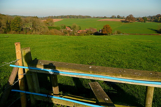
Image: © Graham Horn Taken: 13 Nov 2011
The farm buildings are all contained in a combe below the general lie of the surrounding land. Head for the tree at the right hand end of the roofs.
Images are licensed for reuse under creativecommons.org/licenses/by-sa/2.0
Image Location
Latitude
51.57462
Longitude
-0.617553