Ennerdale from near Lanefoot
Introduction
The photograph on this page of Ennerdale from near Lanefoot by Dave Dunford as part of the Geograph project.
The Geograph project started in 2005 with the aim of publishing, organising and preserving representative images for every square kilometre of Great Britain, Ireland and the Isle of Man.

There are currently over 7.5m images from over 14,400 individuals and you can help contribute to the project by visiting https://www.geograph.org.uk
Ennerdale from near Lanefoot
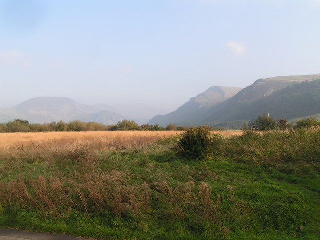
Image: © Dave Dunford Taken: 15 Oct 2006
Enticing views to Crag Fell and Angler's Crag from the Coast-to-Coast path on the approach to Ennerdale Bridge, typically at the end of the first day's walking.
Images are licensed for reuse under creativecommons.org/licenses/by-sa/2.0
Image Location
Latitude
54.525188
Longitude
-3.449256