Round Riding Road
Introduction
The photograph on this page of Round Riding Road by Lairich Rig as part of the Geograph project.
The Geograph project started in 2005 with the aim of publishing, organising and preserving representative images for every square kilometre of Great Britain, Ireland and the Isle of Man.

There are currently over 7.5m images from over 14,400 individuals and you can help contribute to the project by visiting https://www.geograph.org.uk
Round Riding Road
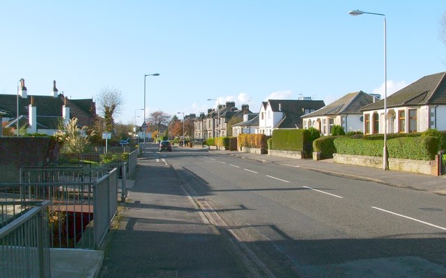
Image: © Lairich Rig Taken: 1 Nov 2011
The same road is shown in Image; see that item for further information. The present photograph is a view in the opposite direction, and the next turning on the left is for Miller Court. In the fenced-off area to the left, between pavement and houses, the Knowle Burn flows parallel to the road.
Images are licensed for reuse under creativecommons.org/licenses/by-sa/2.0
Image Location
Latitude
55.948891
Longitude
-4.554414