Maesteg Fire Station
Introduction
The photograph on this page of Maesteg Fire Station by Jaggery as part of the Geograph project.
The Geograph project started in 2005 with the aim of publishing, organising and preserving representative images for every square kilometre of Great Britain, Ireland and the Isle of Man.

There are currently over 7.5m images from over 14,400 individuals and you can help contribute to the project by visiting https://www.geograph.org.uk
Maesteg Fire Station
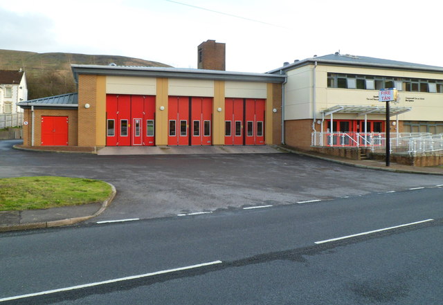
Image: © Jaggery Taken: 17 Nov 2011
Viewed across Heol Tywith. In addition to the town of Maesteg, the fire station serves the surrounding villages of Nantyffyllon, Caerau, Garth, Cwmfelin and Llangynwyd, with a total population of about 25,000.
Images are licensed for reuse under creativecommons.org/licenses/by-sa/2.0
Image Location
Latitude
51.626788
Longitude
-3.658437