Looking down Wetmoor Green
Introduction
The photograph on this page of Looking down Wetmoor Green by Mick Malpass as part of the Geograph project.
The Geograph project started in 2005 with the aim of publishing, organising and preserving representative images for every square kilometre of Great Britain, Ireland and the Isle of Man.

There are currently over 7.5m images from over 14,400 individuals and you can help contribute to the project by visiting https://www.geograph.org.uk
Looking down Wetmoor Green
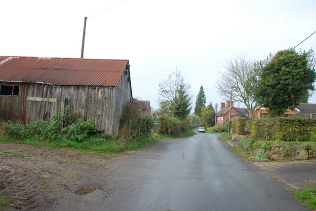
Image: © Mick Malpass Taken: 13 Nov 2011
This lane has a dead end sign on it a bit further on, but it actually goes round in a large loop. This is the only way in and out.
Images are licensed for reuse under creativecommons.org/licenses/by-sa/2.0
Image Location
Latitude
52.854352
Longitude
-2.028025