Dollis Brook going under Waverley Grove bridge
Introduction
The photograph on this page of Dollis Brook going under Waverley Grove bridge by David Howard as part of the Geograph project.
The Geograph project started in 2005 with the aim of publishing, organising and preserving representative images for every square kilometre of Great Britain, Ireland and the Isle of Man.

There are currently over 7.5m images from over 14,400 individuals and you can help contribute to the project by visiting https://www.geograph.org.uk
Dollis Brook going under Waverley Grove bridge
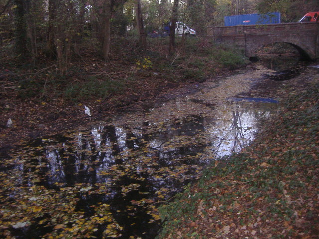
Image: © David Howard Taken: 17 Nov 2011
Waverley Grove used to be a short cut from the Great North Way but was closed around the late 70s
Images are licensed for reuse under creativecommons.org/licenses/by-sa/2.0
Image Location
Latitude
51.593768
Longitude
-0.211146