Deanston, mill lade [2]
Introduction
The photograph on this page of Deanston, mill lade [2] by Robert Murray as part of the Geograph project.
The Geograph project started in 2005 with the aim of publishing, organising and preserving representative images for every square kilometre of Great Britain, Ireland and the Isle of Man.

There are currently over 7.5m images from over 14,400 individuals and you can help contribute to the project by visiting https://www.geograph.org.uk
Deanston, mill lade [2]
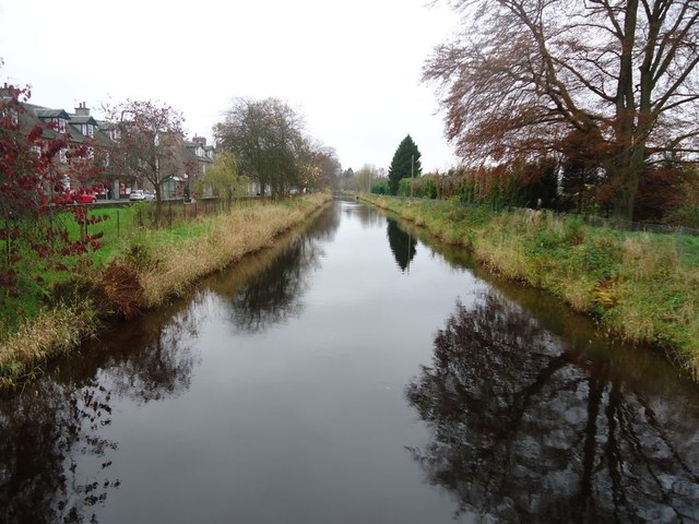
Image: © Robert Murray Taken: 15 Nov 2011
View upstream of what looks very much like a canal. About six foot deep and approximately twenty wide it's a big lade delivering a lot of water to the distillery where after use and abstraction most is returned to the Teith. A fine example of Georgian engineering. See RCAHMS site record for view of lade when empty for maintenance on tunnel. http://canmore.rcahms.gov.uk/en/site/305252/details/deanston+deanston+mills+culverted+lade+section/
Images are licensed for reuse under creativecommons.org/licenses/by-sa/2.0
Image Location
Latitude
56.191115
Longitude
-4.074542