Approaching the Shinewater Roundabout
Introduction
The photograph on this page of Approaching the Shinewater Roundabout by Robin Webster as part of the Geograph project.
The Geograph project started in 2005 with the aim of publishing, organising and preserving representative images for every square kilometre of Great Britain, Ireland and the Isle of Man.

There are currently over 7.5m images from over 14,400 individuals and you can help contribute to the project by visiting https://www.geograph.org.uk
Approaching the Shinewater Roundabout
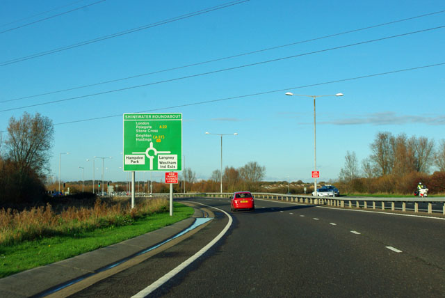
Image: © Robin Webster Taken: 17 Nov 2011
Since the huge expansion of Eastbourne to the east and the building of many new roads, this is now the A22.
Images are licensed for reuse under creativecommons.org/licenses/by-sa/2.0
Image Location
Latitude
50.797463
Longitude
0.291853