St James
Introduction
The photograph on this page of St James by Bob Harvey as part of the Geograph project.
The Geograph project started in 2005 with the aim of publishing, organising and preserving representative images for every square kilometre of Great Britain, Ireland and the Isle of Man.

There are currently over 7.5m images from over 14,400 individuals and you can help contribute to the project by visiting https://www.geograph.org.uk
St James
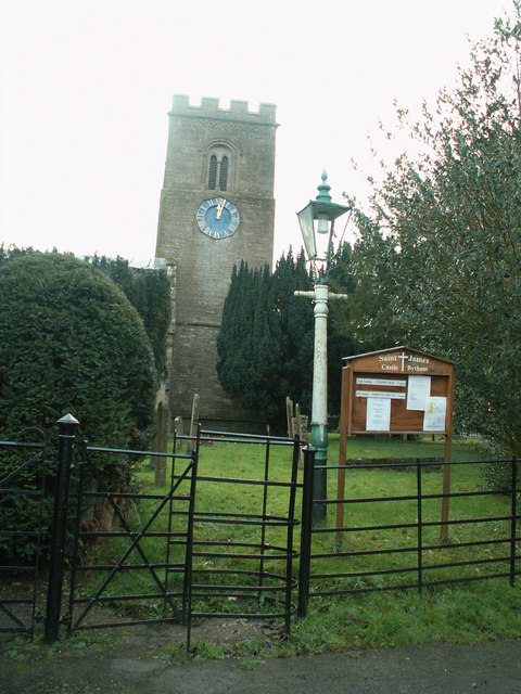
Image: © Bob Harvey Taken: 1 Jan 2006
Because of the geography of the village, the entrance to St James' church is unusual in being on the north side. The kissing gate gives onto a path through the yews, up to the porch which cannot be seen here. The tower is at the west end, and the nave continues to the left of the picture behind the yews, toward the east.
Images are licensed for reuse under creativecommons.org/licenses/by-sa/2.0
Image Location
Latitude
52.753009
Longitude
-0.536541