A Village Public House
Introduction
The photograph on this page of A Village Public House by Stephen Pearce as part of the Geograph project.
The Geograph project started in 2005 with the aim of publishing, organising and preserving representative images for every square kilometre of Great Britain, Ireland and the Isle of Man.

There are currently over 7.5m images from over 14,400 individuals and you can help contribute to the project by visiting https://www.geograph.org.uk
A Village Public House
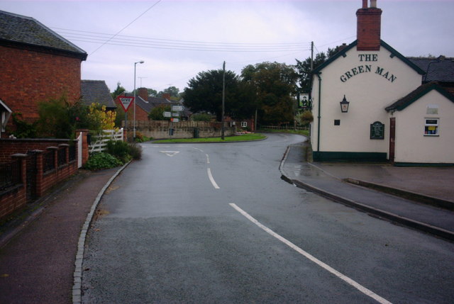
Image: © Stephen Pearce Taken: 27 Oct 2006
The Green Man in the centre of Milwich Village. The road ahead is the B5027 from Stone to Uttoxeter. Just out of view on the junction is an old school, a photo is submitted.
Images are licensed for reuse under creativecommons.org/licenses/by-sa/2.0
Image Location


Leaflet Map data © OpenStreetMap
Latitude
52.887248
Longitude
-2.044543