Road Junction, Bradwell on Sea
Introduction
The photograph on this page of Road Junction, Bradwell on Sea by Trevor Harris as part of the Geograph project.
The Geograph project started in 2005 with the aim of publishing, organising and preserving representative images for every square kilometre of Great Britain, Ireland and the Isle of Man.

There are currently over 7.5m images from over 14,400 individuals and you can help contribute to the project by visiting https://www.geograph.org.uk
Road Junction, Bradwell on Sea
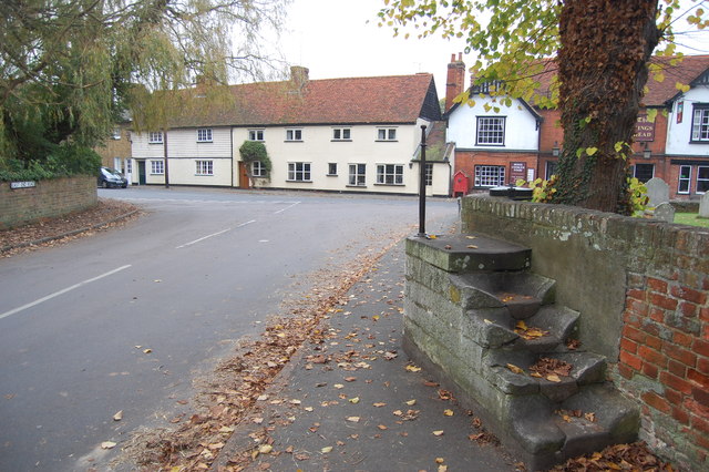
Image: © Trevor Harris Taken: 17 Nov 2011
Taken from East End Road. The mounting block, with the King's Head seen behind, is by the church gate. South Street is to the left, High Street to the right.
Images are licensed for reuse under creativecommons.org/licenses/by-sa/2.0
Image Location


Leaflet Map data © OpenStreetMap
Latitude
51.723918
Longitude
0.900119