A6187 Castleton Road near Hope
Introduction
The photograph on this page of A6187 Castleton Road near Hope by Jonathan Clitheroe as part of the Geograph project.
The Geograph project started in 2005 with the aim of publishing, organising and preserving representative images for every square kilometre of Great Britain, Ireland and the Isle of Man.

There are currently over 7.5m images from over 14,400 individuals and you can help contribute to the project by visiting https://www.geograph.org.uk
A6187 Castleton Road near Hope
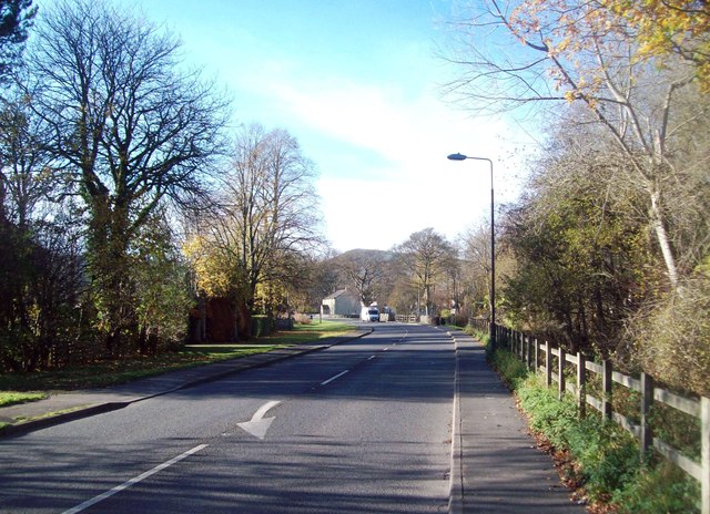
Image: © Jonathan Clitheroe Taken: 17 Nov 2011
Looking west from the edge of Hope village.
Images are licensed for reuse under creativecommons.org/licenses/by-sa/2.0
Image Location
Latitude
53.348047
Longitude
-1.753608