Tollerton churchyard with arcade
Introduction
The photograph on this page of Tollerton churchyard with arcade by Alan Murray-Rust as part of the Geograph project.
The Geograph project started in 2005 with the aim of publishing, organising and preserving representative images for every square kilometre of Great Britain, Ireland and the Isle of Man.

There are currently over 7.5m images from over 14,400 individuals and you can help contribute to the project by visiting https://www.geograph.org.uk
Tollerton churchyard with arcade
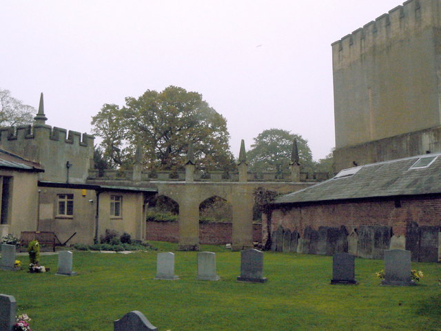
Image: © Alan Murray-Rust Taken: 11 Nov 2011
The arcade is part of the gothic-style rebuilding of Tollerton Hall in 1820.
Images are licensed for reuse under creativecommons.org/licenses/by-sa/2.0
Image Location
Latitude
52.906756
Longitude
-1.086138