Church Hill
Introduction
The photograph on this page of Church Hill by Alan Murray-Rust as part of the Geograph project.
The Geograph project started in 2005 with the aim of publishing, organising and preserving representative images for every square kilometre of Great Britain, Ireland and the Isle of Man.

There are currently over 7.5m images from over 14,400 individuals and you can help contribute to the project by visiting https://www.geograph.org.uk
Church Hill
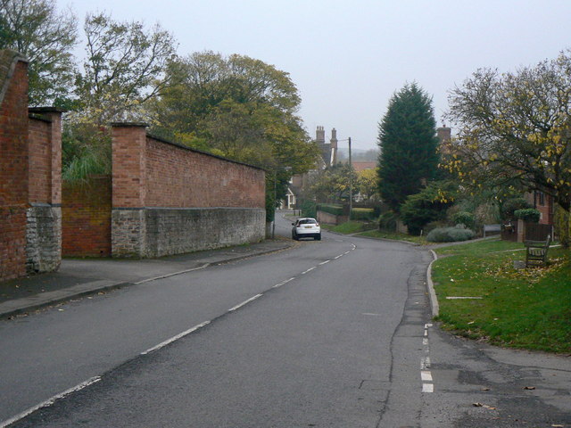
Image: © Alan Murray-Rust Taken: 11 Nov 2011
This formed part of the main road between Nottingham and Melton Mowbray until the construction of the bypass in the 1930s. The wall on the left includes the entrance to the stable yard of The Old Rectory and is Listed Grade II.
Images are licensed for reuse under creativecommons.org/licenses/by-sa/2.0
Image Location
Latitude
52.891403
Longitude
-1.08869