Cotgrave Road
Introduction
The photograph on this page of Cotgrave Road by Alan Murray-Rust as part of the Geograph project.
The Geograph project started in 2005 with the aim of publishing, organising and preserving representative images for every square kilometre of Great Britain, Ireland and the Isle of Man.

There are currently over 7.5m images from over 14,400 individuals and you can help contribute to the project by visiting https://www.geograph.org.uk
Cotgrave Road
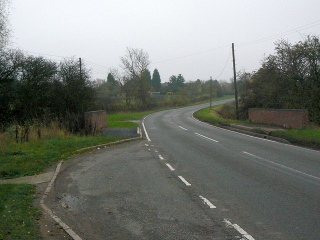
Image: © Alan Murray-Rust Taken: 11 Nov 2011
At the point where it crosses the Polser Brook. Here it marks the boundary between Tollerton and Normanton parishes.
Images are licensed for reuse under creativecommons.org/licenses/by-sa/2.0
Image Location
Latitude
52.895475
Longitude
-1.080429