Footpath to Normanton
Introduction
The photograph on this page of Footpath to Normanton by Alan Murray-Rust as part of the Geograph project.
The Geograph project started in 2005 with the aim of publishing, organising and preserving representative images for every square kilometre of Great Britain, Ireland and the Isle of Man.

There are currently over 7.5m images from over 14,400 individuals and you can help contribute to the project by visiting https://www.geograph.org.uk
Footpath to Normanton
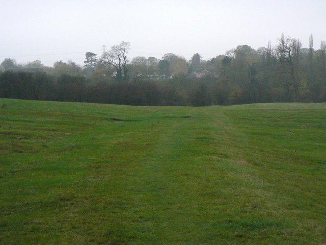
Image: © Alan Murray-Rust Taken: 11 Nov 2011
The footpath runs on its own bank or ridge, at right angles to the main ridge and furrow pattern on either side. This was probably the access track to the fields, and the reason for it being a right of way to this day.
Images are licensed for reuse under creativecommons.org/licenses/by-sa/2.0
Image Location
Latitude
52.891733
Longitude
-1.073225