Pond Bay, Normanton
Introduction
The photograph on this page of Pond Bay, Normanton by Alan Murray-Rust as part of the Geograph project.
The Geograph project started in 2005 with the aim of publishing, organising and preserving representative images for every square kilometre of Great Britain, Ireland and the Isle of Man.

There are currently over 7.5m images from over 14,400 individuals and you can help contribute to the project by visiting https://www.geograph.org.uk
Pond Bay, Normanton
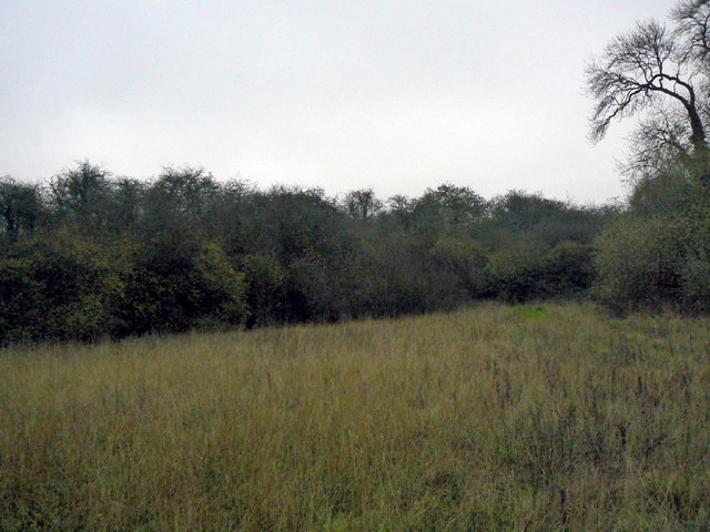
Image: © Alan Murray-Rust Taken: 11 Nov 2011
The scrub woodland conceals a substantial earth dam/embankment, up to at least 5 metres high and around 150 metres long. It is shown in gothic script on OS maps, and was the dam to the mill pond of the medieval mill - a very substantial work for the period. It was clearly disused long before the earliest available OS maps of the 1880s were surveyed.
Images are licensed for reuse under creativecommons.org/licenses/by-sa/2.0
Image Location
Latitude
52.890924
Longitude
-1.073242