Normanton Methodist Chapel
Introduction
The photograph on this page of Normanton Methodist Chapel by Alan Murray-Rust as part of the Geograph project.
The Geograph project started in 2005 with the aim of publishing, organising and preserving representative images for every square kilometre of Great Britain, Ireland and the Isle of Man.

There are currently over 7.5m images from over 14,400 individuals and you can help contribute to the project by visiting https://www.geograph.org.uk
Normanton Methodist Chapel
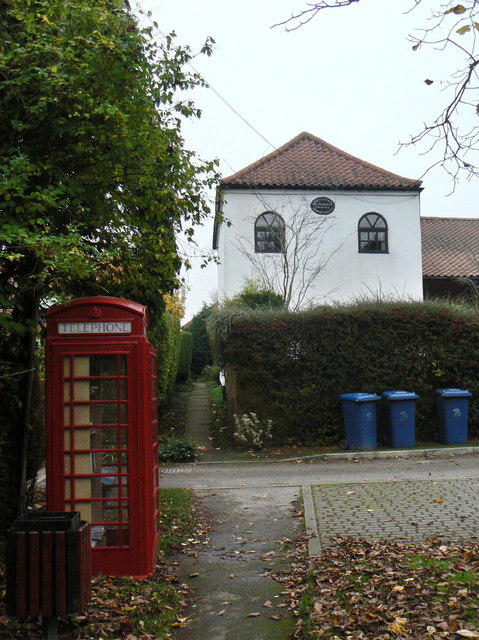
Image: © Alan Murray-Rust Taken: 11 Nov 2011
Built in 1827, and now converted to residential accommodation, it was the only religious establishment in the village. The Anglican communion went to neighbouring Plumtree. The K6 telephone kiosk is no longer functioning as such, but serves as a book-share depository.
Images are licensed for reuse under creativecommons.org/licenses/by-sa/2.0
Image Location
Latitude
52.891501
Longitude
-1.077986