Clarence Place
Introduction
The photograph on this page of Clarence Place by Nigel Mykura as part of the Geograph project.
The Geograph project started in 2005 with the aim of publishing, organising and preserving representative images for every square kilometre of Great Britain, Ireland and the Isle of Man.

There are currently over 7.5m images from over 14,400 individuals and you can help contribute to the project by visiting https://www.geograph.org.uk
Clarence Place
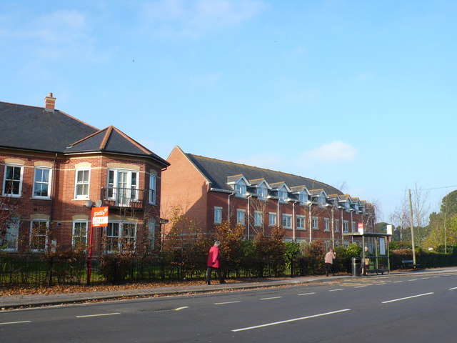
Image: © Nigel Mykura Taken: 15 Nov 2011
This is a large development of houses and apartments just off Fairmile Rd built in an unusual curving formation. Taken from the other side of Fairmile Rd close to the junction with Knap Hill Avenue.
Images are licensed for reuse under creativecommons.org/licenses/by-sa/2.0
Image Location
Latitude
50.744424
Longitude
-1.788061